Low altitude protection in the core area of government buildings/government offices
Case 2026-03-14
For government offices, security and confidentiality are the top priorities. Our solution achieves 24-hour unmanned fully automated prevention and control.
By deploying radar and fixed equipment around the building, combined with navigation deception technology in the core area, a blind spot free protective net has been formed. All data is connected in real-time to the backend command platform, and management personnel can remotely monitor, operate, and access complete log records at any time, ensuring absolute security in the core area of government affairs.
Core requirements
Realize 24-hour unmanned prevention and control of government offices, prevent illegal reconnaissance and harassment by drones, and require all-weather, high-precision, remote supervision, and traceable logs.
Adapt to product portfolio
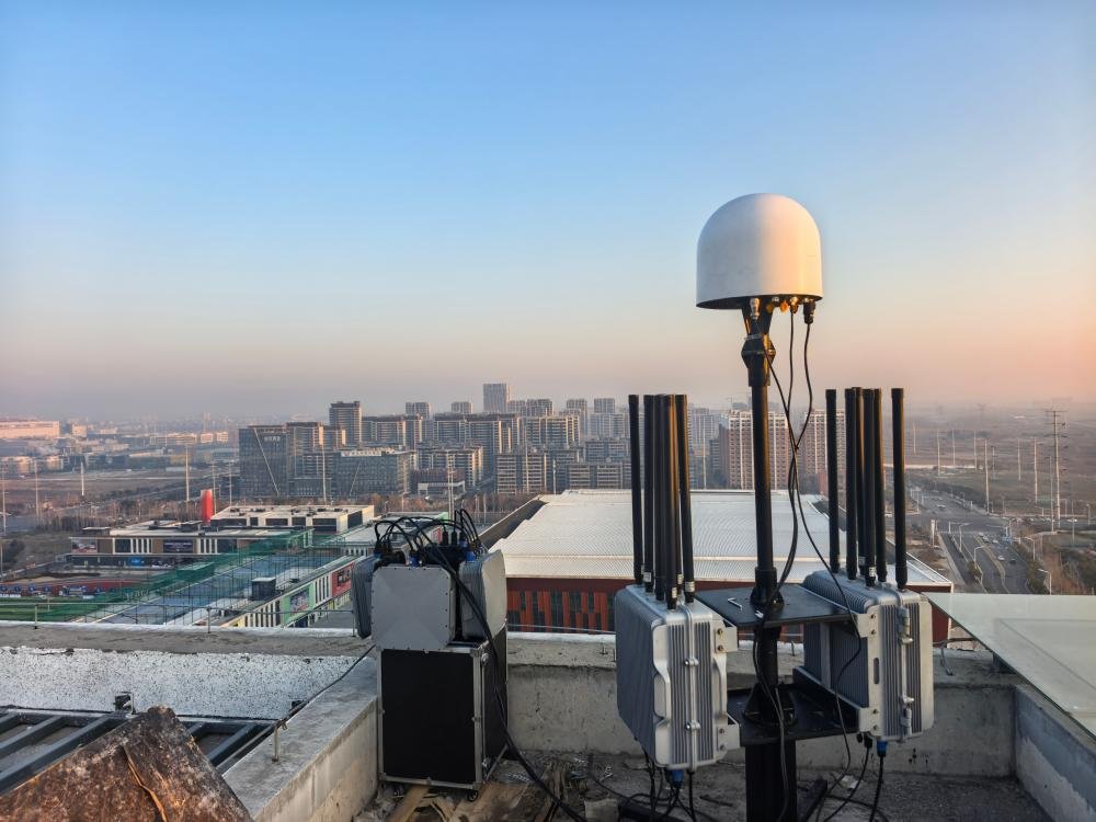
Fixed detection and defense equipment (ZC100AB-GTA)+Ku band low altitude close range surveillance radar+navigation deception equipment (YP100GTB)+backend command and management platform
Practical operation process
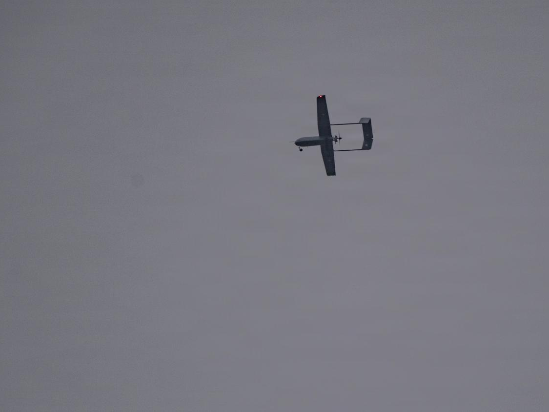
Ku band low altitude close range surveillance radar is installed around the perimeter wall of the government office, detecting “low, slow, and small” targets at a distance of ≥ 5km, with 360 ° no blind spots and blind spots ≤ 300m, and tracking the trajectory of unmanned aerial vehicles around the clock;
Deploying fixed detection and defense equipment on rooftops and high ground, scanning and identifying drone models/IDs across all frequency bands, supporting black and white lists, automatically triggering sound and light alarms for black flying targets, and synchronously pushing SMS alarms to the command center;
Deploy navigation deception devices in the core office area, implement satellite navigation deception on intruded targets, invade signals within<3s, achieve area denial, and force drones to return/make an emergency landing;
All devices are connected to the backend command and management platform, enabling unmanned operation, automatic saving of detection/countermeasure logs, support for log viewing/downloading, hierarchical management of user permissions, and remote monitoring and control of devices.
Practical effect
Realize 24-hour unmanned prevention and control, with a detection distance of ≥ 10km and a countermeasure distance of ≥ 3km. It can accurately identify/dispose of various types of drones, and the logs can be traced throughout the process, creating a low altitude safety barrier for government offices at all times.